|
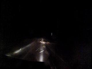
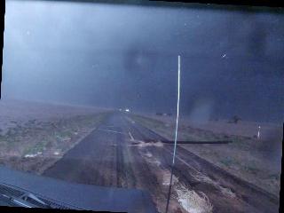
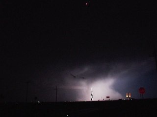
Thes pictures illustrate the dangers of being out in inclement weather. The power pole barely visible in the first picture was almost struck
while driving. Not too distant past it, was a second pole. In the second picture, you have a better perspective of what was really out there.
The second picture was illuminated during a lightning flash. Winds through this area were estimated at 70 mph. Prior to this, the ground was
covered with 3/4" hail. Location: 303N near 597 west, Hockley County, Texas. (33.78088,-102.559047) DATE: 6/5/2013
|
 | 
|
|
|
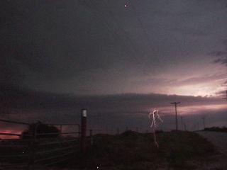
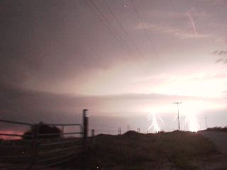
Two pictures (sequential) of a lighning bolt as it strikes and discharges energy over a brief period.
|
 | 
|
|
|
This picture shows a rain shaft coming out of a cell. This illustrates one of the drawbacks of trying to spot storms at night. You must rely
on nature's own form of illumination to see cloud structure. Fortunately, this turned out to be a heavy rain event and nothiing more. It easily
could have been worse though.
|
|
|
|
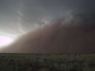
A haboob. Essentially a wall of dirt that is moving rather rapidly. They can produce wind damage though. This results when
downward outflow from a storm system kicks up a surface level gust. These (in this area) will usually reult in a storm of mudballs.
|
|
|
|
|
|
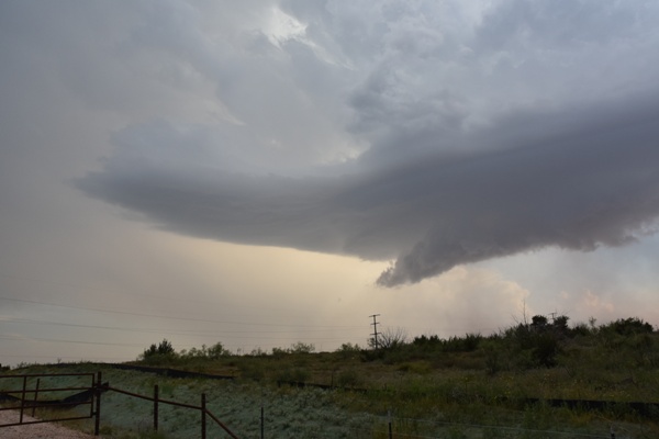
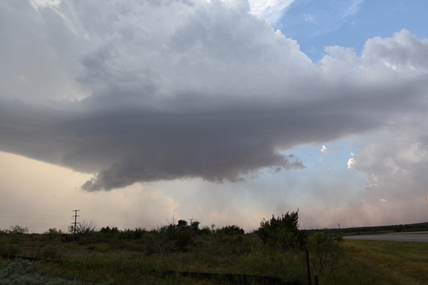
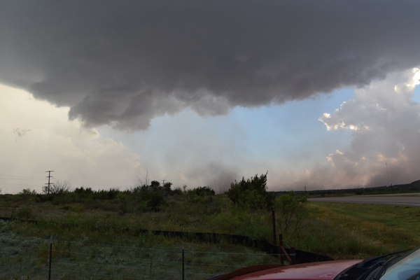
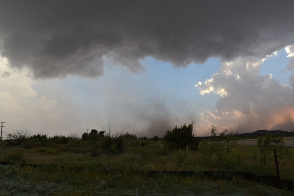
This was shot on June 6, 2017. What appears to be a forming 'beaver tail' and a wall cloud. Nothing
developed further, but there was some dirt below it. That is more of an outflow type movement, signaling that the storm is dumping it's
energy and beginning to cllapse. The storm played out shortly after these were taken.
|
|